Digital Humanities Conference 2019, Utrecht
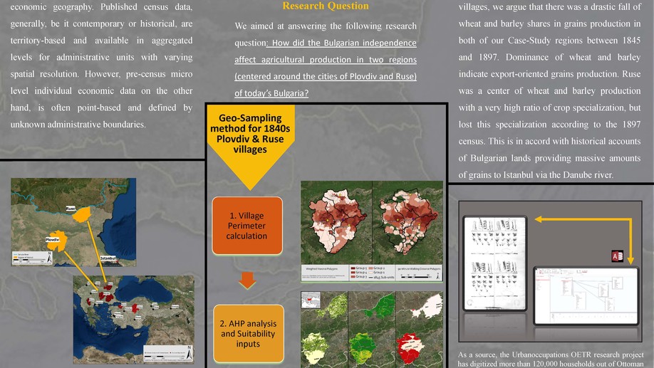
This research introduces a novel geo-spatial sampling model to overcome a major difficulty in historical economic geography of Bulgarian lands during a crucial period.
Barcın Höyük excavation symposium: Use of ArcGIS CityEngine 3d web viewer for a online 2.5D visualisation of an archaeological excavation
Use of ArcGIS CityEngine 3d web viewer for a online 2.5D visualisation of an archaeological excavation