Petrus J. Gerrits

Petrus J. Gerrits

PhD Student

University of Glasgow

Biography

Hello and welcome to my personal website! Here I am posting about my ongoing academic research. My main academic interest is in the use of geospatial data science and computational applications in geography, humanities, and archaeology.

I was first introduced to the significant role of geospatial applications in 2011, during my undergraduate at the Vrije Universiteit and Wageningen University in the Netherlands. Afterwards, I obtained my graduate degree at Koç Unversity in Istanbul, where I utilized my technical skills to support research aimed to document and analyse Turkey’s rich history and archaeological cultural heritage.

Over the years I have broadened and diversified my skills and interests by teaching GIS (Geographic Information Systems) in archaeology and history, organize summer schools, work in several research projects, as well as by participating in a ERASMUS+ capacity building project in Kufa, Iraq.

After obtaining my MA I worked as a full-time lead Geospatial Data Scientist and Research Fellow in an ERC-funded Horizon 2020 Research Project (UrbanOccupationsOETR) at Koç University. Here, I developed the geographic content management system of the project, and worked on research projects that incorporate Computer Vision/Machine Learning for feature extraction of Historical Maps, Network Analysis and the use of Geospatial Mobile Survey Applications for academic public outreach activities.

Currently, I am pursuing a Ph.D. in Geospatial Data Science at the University of Glasgow , focusing on the use of historical maps and census data to gain a better understanding of urbanization using geographical variables such as population changes and network accessibility.

Interests

  • Geospatial Data Science in Humanities
  • Computational Methods in Archaeology and History
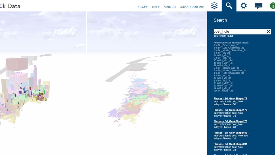
  • Photogrammetry and 3D Modelling
  • Geospatial Content Management Systems

Education

  • PhD in Geospatial Data Science, 2020

    University of Glasgow

  • MA in Archaeology and Cultural Heritage Managment, 2018

    Koç University, Istanbul

  • BA in Archaeology with a specialisation in GIS and Remote Sensing, 2015

    Vrije Universiteit, Amsterdam

Skills

Geographic Information Systems (ArcGIS Pro / QGIS)

Database Management

Dynamic Dashboards

Python

SQL

HTML

Adobe Photoshop

Agisoft Metashape

Dutch, English, German, Turkish, French

Experience


PhD researcher

University of Glasgow

Dec 2020 – Present Glasgow
Responsibilities include:


Research Fellow and GIS Specialist

Urbanoccupations OETR at Koc University

Jan 2017 – Dec 2020 Istanbul
Responsibilities include:

  • Database Management
  • Training members in the use of GIS software and applications
  • Analysing and extracting spatial data


Master of Arts

Koç University

Sep 2015 – Aug 2018 Istanbul
Master Graduate degree in Archaeology and Cultural heritage Management.


Bachelor of Arts

Vrije Universiteit

Sep 2011 – Jul 2015 Amsterdam
Bachelor Undergraduate degree in (landscape) Archaeology, with a specialisation in GIS and Remote Sensing

Recent Publications

  • 2020 - Kabadayı, Gerrits, Boykov, Bridging the gap between pre-census and census era historical data: Devising a geo-sampling model to analyse agricultural production in the long-run for Southeast Europe and Anatolia. UCGIS symposium 2019 Conference Proceedings. International Journal of Humanities and Arts Computing (IJHAC), 2020

  • 2019 - Kabadayi, Gerrits, Koçak, Özkan, ‘A Geo-Spatial, Multi-Modal Ottoman Transport Network in 1899,’ in Chris Roosevelt ed., 12th Koç University, Research Center for Anatolian Civilizations International Annual Symposium: Spatial Webs Proceedings, Istanbul, 2018.

  • 2019 - Gerritsen, Özbal, Gerrits, A Red Floor at Neolithic Barcın Höyük: Special or Not?

Recent & Upcoming Conference Talks

  • September 2019 - Gerrits ENCHOS III - Workshop, Automatic feature extraction and geographical information retrieval from historical maps, Istanbul 2019.

  • September 2019 - Kabadayı, Gerrits ENCHOS III - Workshop Comparing changes in composition of agricultural produce in two regions of Bulgaria, 1840-1897 using a GIS-sampling model, Istanbul 2019.

  • September 2019 - Gerrits Alvarez-Palau, ENCHOS III - Workshop, A geo-spatial multi-modal transport network for Southeast Europe in the late 19th century, Istanbul 2019.

  • July 2019 - Kabadayı, Gerrits Digital Humanities 2019: “Complexities”. Poster: A Geo- Sampling Model to Analyse Micro Level Historical Agricultural Production Data for Mid-19th Century Southeast European and Anatolian Regions. Utrecht, 2019.

  • June 2019 - Kabadayı, Gerrits Boykov, UCGIS 2019 Symposium. Presenter: The Geospatial Humanities: Transdisciplinary Opportunities for the GIScience Community. Bridging the gap between pre-census and census era historical data: Devising a geo-sampling model to analyse agricultural production in the long-run for Southeast Europe and Anatolia. Washington, 2019.

  • March 2019 - Kabadayi, Gerrits Maps in Libraries. First International GeoPortOst Workshop. Leibniz‐Institute for East and Southeast European Studies (IOS), Geo‐Spatial‐Mining of Historical Maps and Texts: Comparing 16th c. Ottoman military logistics with 19th c. transport infrastructure in Southeast Europe, Regensburg, 2019.

  • April 2018 - Gerrits Özkan, Çetin, ‘Comparing Transport Networks, Geographies of Political and Economic Organisation in England/Wales, France and in the Ottoman Empire 1600-1900. ESSHC Development of maritime trade networks in the Eastern Mediterranean and their hinterlands, Belfast, 2018.

  • November 2017 - Kabadayi, Gerrits Koçak, Özkan, Spatial webs. Koç University, Research Center for Anatolian Civilizations International Annual Symposium: A Geo-Spatial, Multi-Modal Ottoman Transport Network in 1899. Istanbul, 2017.

  • September 2017 - Gerrits Geographic Information Systems (GIS) as an opportunity and a challenge for digital history. Herder Institute, Mapping and Geo-Spatially Analyzing Economic and Population Geography of mid-nineteenth century Bursa. Marburg, 2017.

  • May 2017 - Gerrits Brave New Worlds: Digital Technologies & the Study of the Past in Anatolia, the Mediterranean, and the Near East. Koç University Graduate Symposium. Usage of GIS in Neolithic Anatolia: An intra-settlement analysis of use and abandonment phases at Barcın Höyük. Istanbul, 2017.

  • December 2016 - Gerrits Barcın Höyük excavation symposium. Overview of the Barcin Höyük AIS (Archaeological Information System; contributions from 2013 to 2016). Istanbul, 2016.

Below depicts a fully functional 2.5D model as well as a digital elevation model of Barcın Höyük. This model was created for the Barcın Höyük excavation symposium in 2016. It is based on top and bottom elevations of excavated contexts, during 7 years of the project. The model was created by using ArcScene, CityEngine Webviewer and runs on OpenGL. Open the full viewer for better controls and guidelines.

Contact

  • Rumelifeneri Yolu, Istanbul, IST 34450